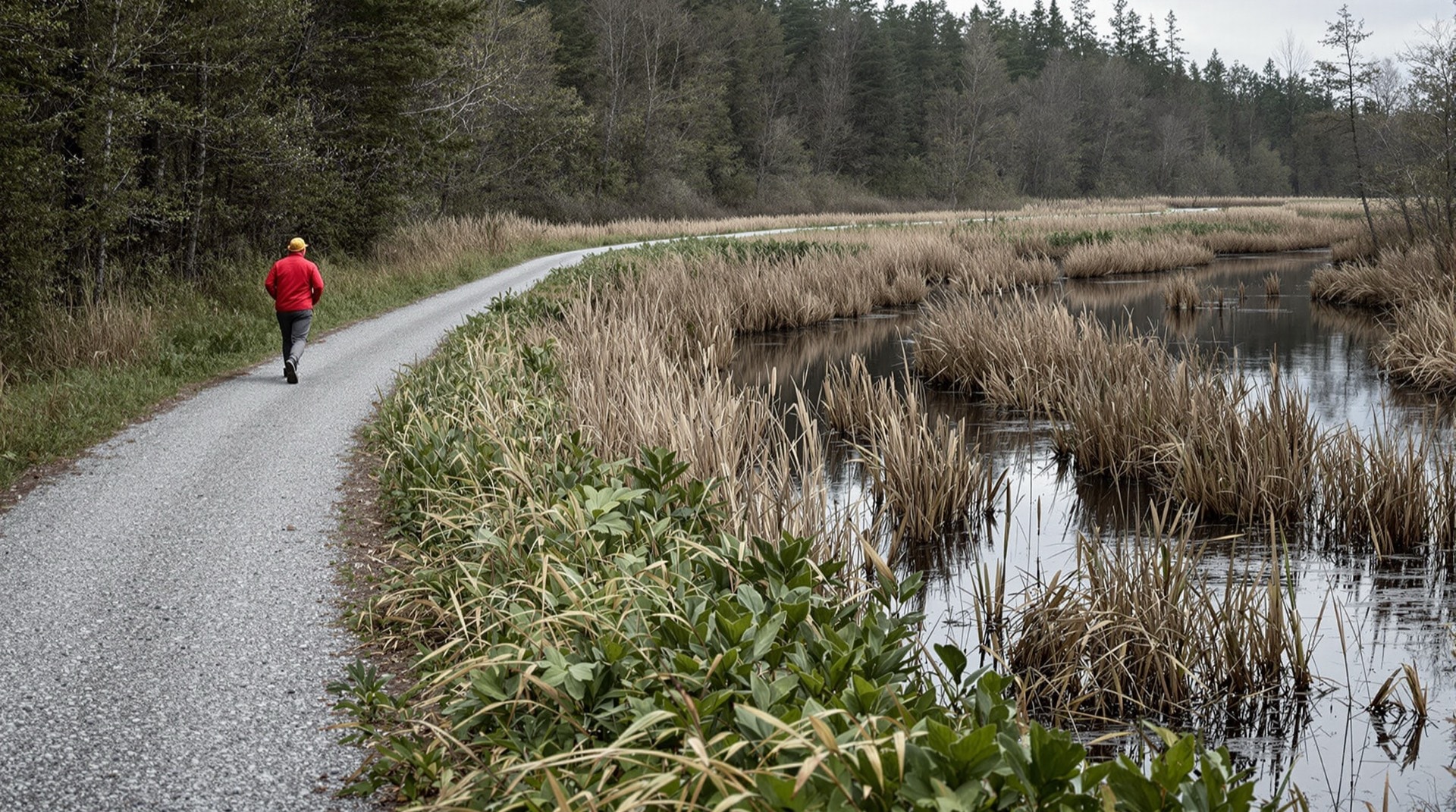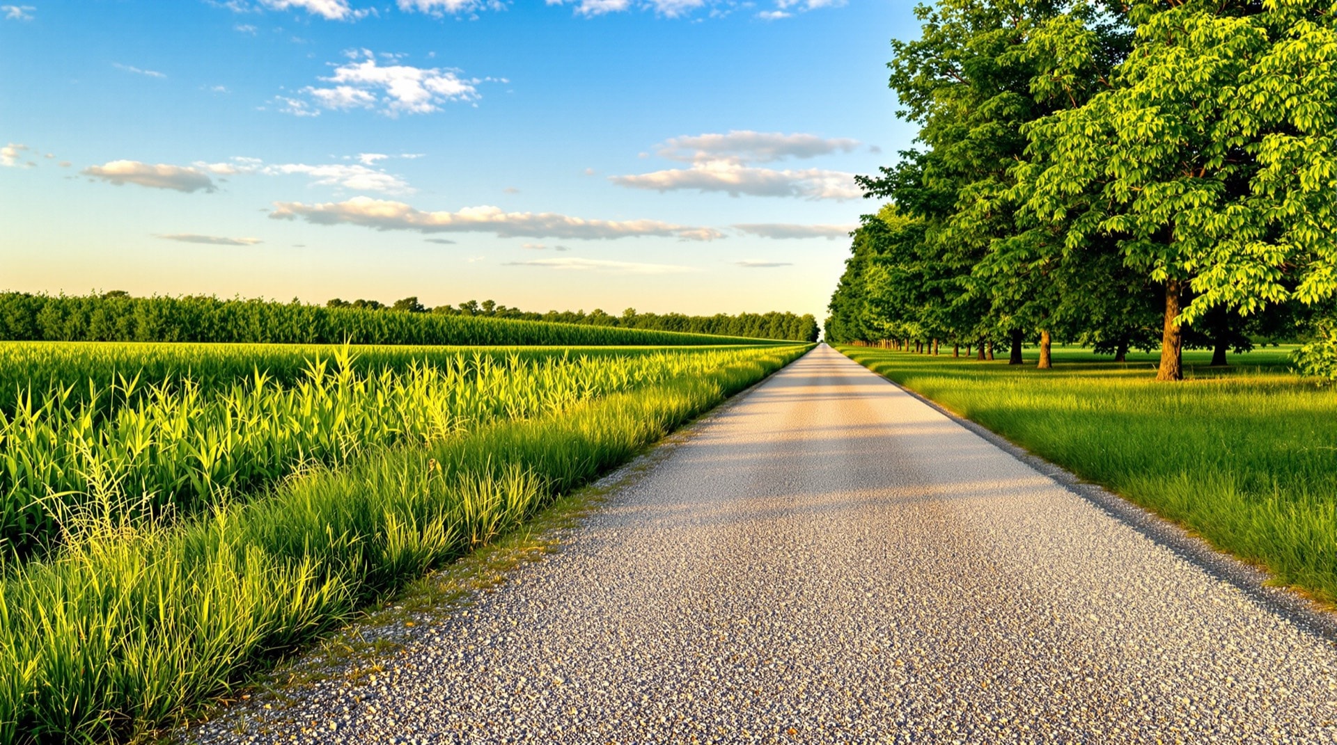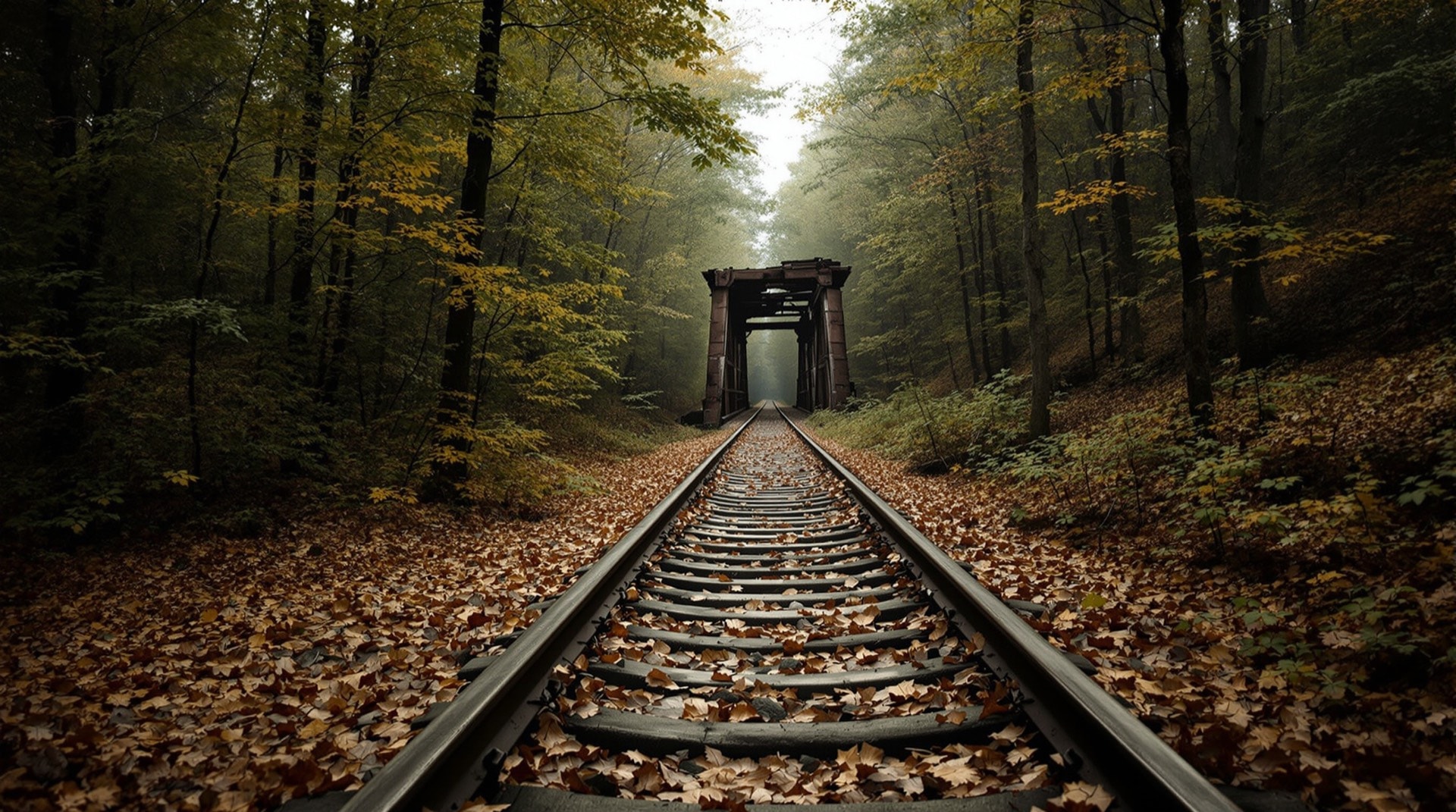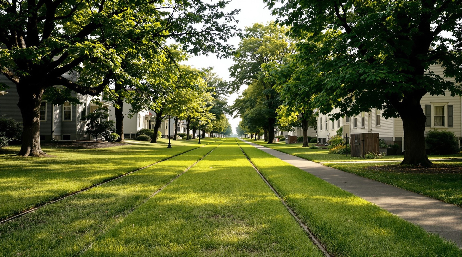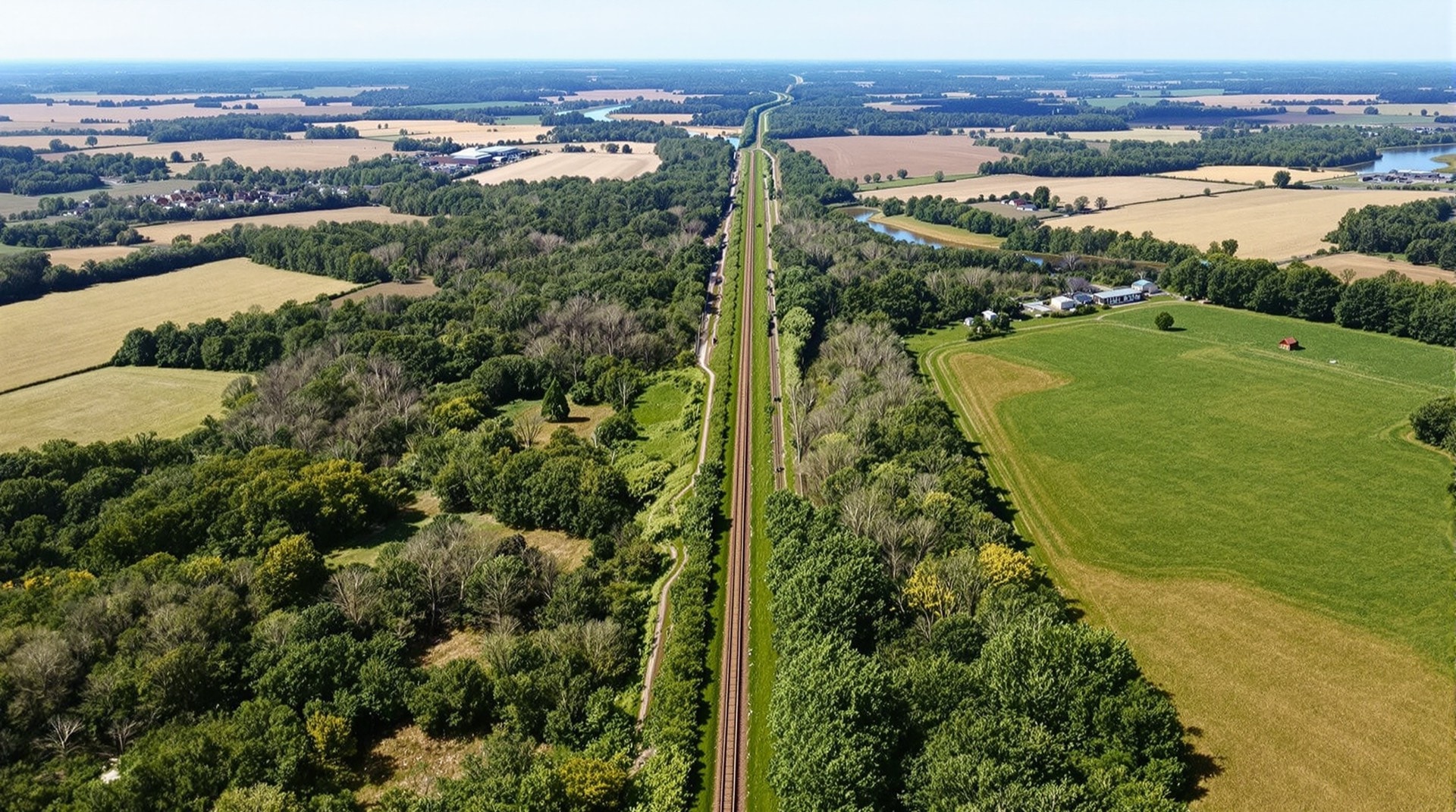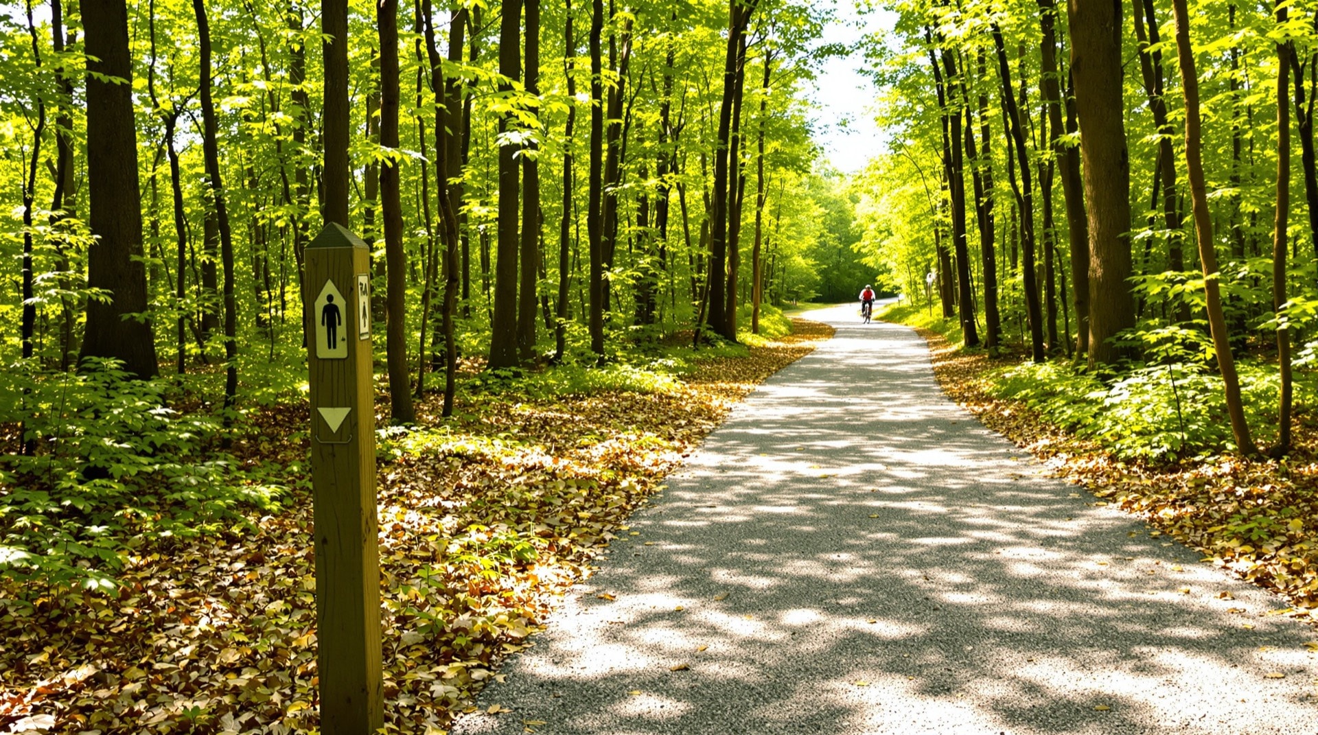
The Rutland Trail is a 21.2-mile multi-use trail across the far north of New York State, following the abandoned railbed of the Rutland Railroad's Northern Division from Norwood eastward to Moira. It is quiet, wooded, and close to wild — a straight ribbon of former mainline running through St. Lawrence and Franklin counties with only a handful of road crossings and almost no development alongside it. This site began as a description of that single trail and grew, over many years, into a broader reference for the rail-trails, abandoned railroad corridors, and historic trolley lines of New York.
New York was once laced with railroads. Trunk lines crossed the state from the Hudson to Lake Erie; short lines climbed into the Adirondacks and the Southern Tier; electric interurban and trolley lines connected nearly every city and mill town. As those railroads were abandoned through the twentieth century, some of their corridors were preserved — converted into the crushed-stone and paved rail-trails that cyclists, walkers, and cross-country skiers use today. This guide maps that transformation across the state.
Start With the Rutland Trail
The trail that gave this project its name runs along the south side of the active tracks out of Norwood, through the hamlet of Winthrop, into North Lawrence, and on toward Moira. Along the way it crosses the St. Regis River, skirts wetlands full of herons and turtles, and passes through mile after mile of hardwood forest. Parts are smooth and ridable; parts are rough, wet, or interrupted where bridges have been removed. Our detailed Rutland Trail page walks the route section by section and explains what is open, what is posted, and how the corridor is owned.
A Statewide Rail-Trail Reference
Beyond the Rutland corridor, New York now has dozens of established rail-trails. The rail-trails of New York State directory organizes them by region — from the Harlem Valley and Hudson Valley in the east, to the Finger Lakes and the Genesee Valley in the west, to the North Country and the Champlain Valley. Each has its own character: some are paved commuter greenways on the edge of a city, others are remote grades that see more deer than people.
The trails differ as much in feel as in surface. The Harlem Valley Rail Trail is open and pastoral; the Wallkill Valley Rail Trail crosses a spectacular river trestle beneath the Shawangunk cliffs; the Genesee Valley Greenway runs for dozens of remote miles along a corridor that carried first a canal and then a railroad. Reading them together is the best way to understand how varied a single idea — a path on an old railbed — can be.
The Railroads Underneath
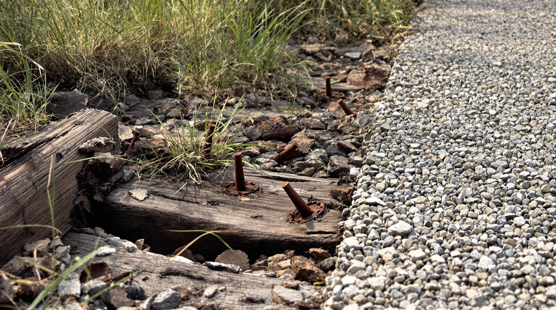
Every rail-trail is a railroad in disguise. The gentle grades that make these paths so easy to ride are the same grades that were engineered for steam locomotives a century and more ago. Our pages on abandoned railroads and historic trolley lines trace those corridors — the mainlines, branches, unfinished grades, and electric interurbans whose alignments still shape where you can walk today. The mapping approach behind the original project explains how these routes were plotted onto modern maps so they can be followed on the ground.
Planning a First Visit
If this is your first rail-trail, the choice that matters most is surface, not distance. A paved greenway will take any bike and any shoes; a crushed-stone corridor wants wider tires; a rough, unimproved grade is walking country, or mountain-bike country, and it can be wet for months at a time. Because these routes are linear, plan the return leg before you start — on an out-and-back, turn around at less than half your energy rather than half your time. Road crossings are your bail-out points, and on the remoter corridors they can be miles apart. None of this is difficult; it simply rewards ten minutes of planning that a loop trail in a park would not require.
For Riders, Walkers, and Historians Alike
If you are new to this kind of riding and walking, the rail-trail guide covers the practical side — surfaces, grades, seasons, etiquette, and how to plan a point-to-point outing on a linear trail. If you are drawn instead to the history, the rails-to-trails movement page explains how abandoned corridors were rescued and turned into public paths. Most visitors, in the end, come for both: you cannot ride one of these trails for long without wondering about the trains that ran there first.
How to Use This Guide
Read it as a traveler or as a historian. Plan a weekend ride on the Genesee Valley Greenway or the Wallkill Valley Rail Trail; or trace the ghost of a long-gone interurban across a county you thought you knew. According to the Rails-to-Trails Conservancy, the United States now has more than 24,000 miles of rail-trail, and New York holds a significant share of it. Groups like Parks & Trails New York continue to link these corridors into longer routes. Whatever brings you here, start with a corridor, follow it end to end, and let the old railroad show you the state.