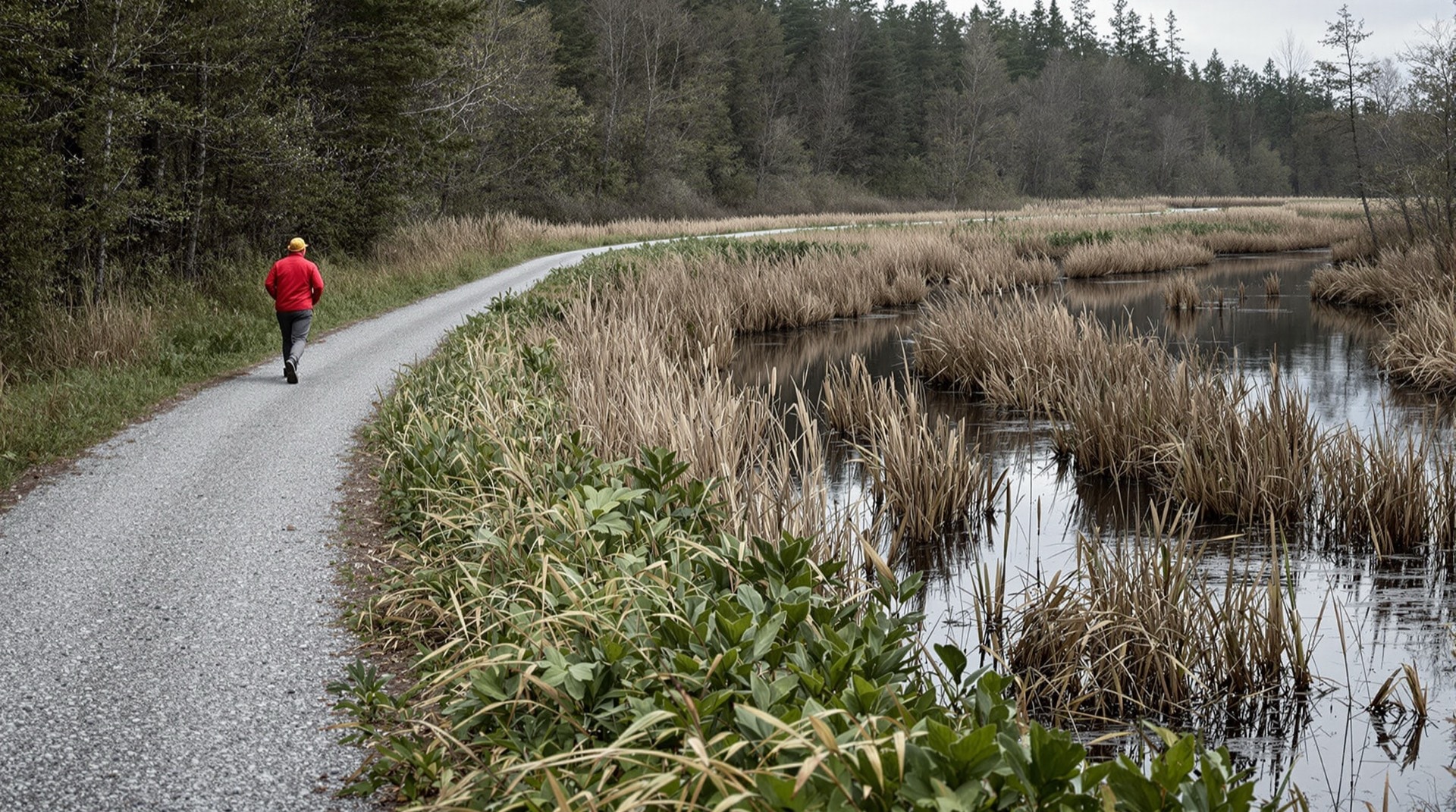
The Rutland Trail extends for 21.2 miles across the North Country of New York, from Norwood in St. Lawrence County to Moira in Franklin County. It follows the graded railbed of the Rutland Railroad's Northern Division — a line that once ran clear across the top of the state. Today the corridor is a quiet multi-use trail, used for walking, cycling, snowmobiling, and cross-country skiing, threading through some of the emptiest and most peaceful country in the Northeast.
The Route, End to End
The trail begins at Railroad Avenue in Norwood and heads east, running along the south side of the still-active tracks before striking off on its own through farm woodlots and wetland. It reaches the hamlet of Winthrop, where a former railroad bridge has been removed; here the St. Regis River must be crossed on a nearby highway bridge and a short stretch of railbed skirted. From Winthrop the trail is generally ridable through to the village of North Lawrence, where another bridge is gone. East of there the corridor continues, in changing condition, toward Moira.
Because the line was built for freight and passenger trains, the grades are gentle and the curves are broad. That is the great gift of any rail-trail: the hardest engineering was done a century ago, and what remains is an easy, forgiving surface that almost anyone can travel. On the Rutland Trail the reward for that easy grade is solitude — long stretches where the only company is the wind in the hardwoods and the water in the ditches.
Trailheads and Access
The most reliable access points are where the corridor meets a public road in one of the villages along the line. Norwood, at the western end, is the natural place to start, with the trail leaving town near the rail yard. Winthrop and North Lawrence both offer road access to the middle of the route, and Moira anchors the eastern end. Because there are only about thirteen road intersections along the entire 21 miles, those crossings are also your natural turnaround and bail-out points. Treat the trail as a chain of ridable segments linked by road access rather than one guaranteed through-route, and you will rarely be disappointed.
Conditions and What to Expect
The Rutland Trail is not a manicured greenway. Some miles are smooth and dry; at least one notorious stretch is muddy for much of the year; and a few segments are interrupted where bridges have been pulled or where a landowner has posted the railbed against trespass. Sections east of the St. Regis River in Winthrop can be hard to reach when a bridge is out, and a stretch that once passed through industrial land has at times been closed and fenced. Conditions change from season to season, so a wide-tired hybrid or mountain bike, waterproof footwear, and a flexible plan will serve you far better than a road bike and a fixed itinerary. Our trail guide covers gear and seasons in detail.
Wildlife and Landscape
The old railbed is now a wildlife corridor. Deer browse along the edges; raccoons, ducks, snakes, and turtles all use the right-of-way. In summer the wetlands hum with frogs and dragonflies; in autumn the hardwoods turn and the whole line glows. Because there is almost no development beside the trail, the sense of quiet is nearly complete — a rare thing on any public path. Birdwatchers do especially well along the wetter sections, where herons stalk the ditches and waterfowl gather in the beaver ponds that flank the grade.
Winter on the Corridor
Winter changes the Rutland Trail more than any other season. Snow bridges the mud that makes some sections miserable in spring, and a groomed, frozen railbed can be the easiest travelling of the year for skiers and snowshoers. The corridor also carries snowmobile traffic through the North Country winter, so expect company on the wider sections and keep to the side; sledders travel far faster than they appear to from a standstill. Daylight is the real constraint this far north, with usable light gone by mid-afternoon in December, and the road crossings that serve as bail-out points are not all plowed. Dress for standing still rather than for moving, and plan a shorter day than the distance suggests.
Ownership and Stewardship
Ownership of the Rutland Trail corridor is mixed. Some sections are privately held; others belong to the towns the line passes through, including the Town of Stockholm. Over the years, local and county efforts — supported at times by New York's Recreational Trails Program grants — have worked to clear brush, restore the railbed, and expand the usable corridor. Because ownership varies mile by mile, users should respect posted areas and stay on the public and permitted sections. Programs administered through New York State Parks continue to fund trail maintenance and development of this kind statewide, and the Rails-to-Trails Conservancy documents how corridors like this one are preserved.
The Rutland Railroad Northern Division
The Rutland Trail is only a fragment of a much larger railroad. The Rutland Railroad's Northern Division originally reached across the entire top of New York State, from Ogdensburg on the St. Lawrence River in the west to Rouses Point on Lake Champlain in the east, linking the North Country to the Rutland system in Vermont. It carried dairy, freight, and passengers through country that had few other outlets to the wider world. When the line was abandoned, its long, straight grade was left behind — and it is that grade you travel today. The broader story of the corridor, and of the many other lines like it, is told on our abandoned railroads page. When you are ready for the next corridor, browse other New York rail-trails.