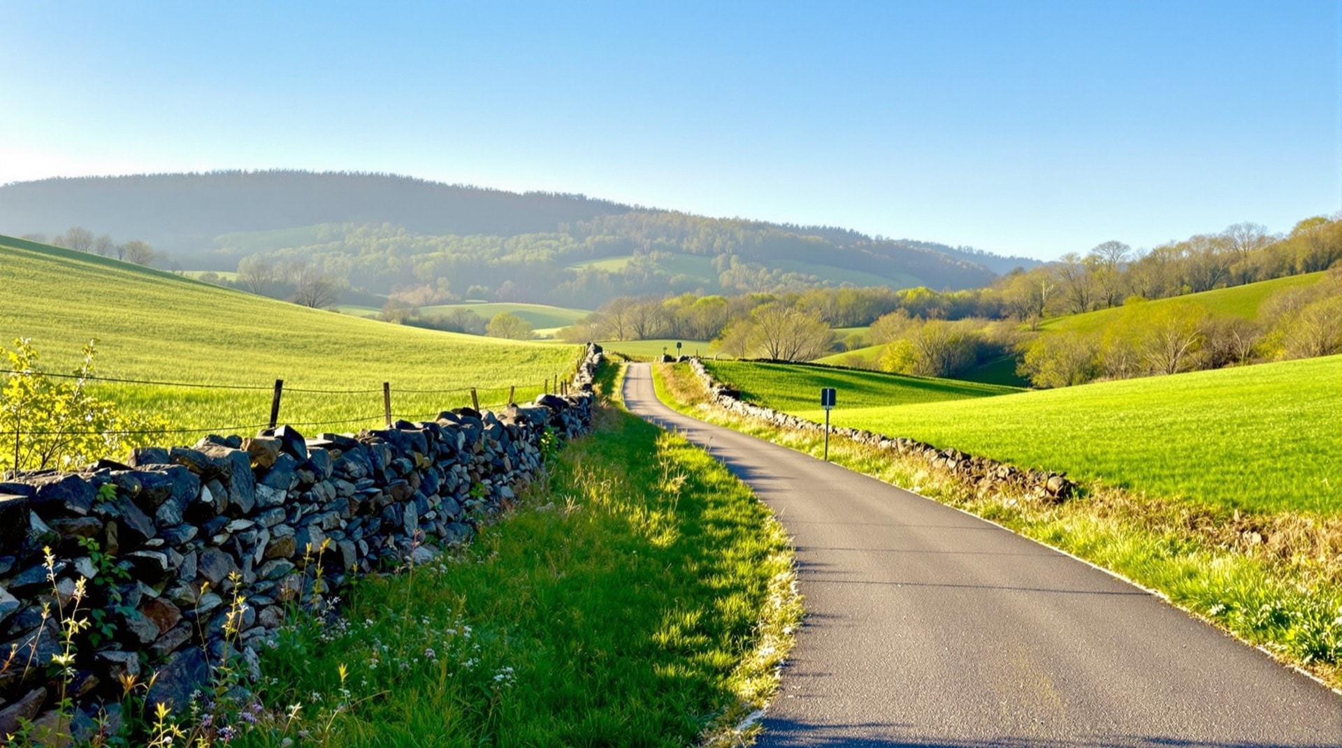
The Harlem Valley Rail Trail is one of the most scenic rail-trails in eastern New York, following the route of the former New York Central Harlem Division through Dutchess and Columbia counties. Paved and gently graded, it runs through a landscape of dairy farms, stone walls, and the low wooded ridges of the Taconic and Berkshire foothills, with completed segments around Amenia, Millerton, and Copake Falls that together make it a signature ride of the eastern part of the state.
The Railroad It Replaced
The Harlem Division was a passenger and freight line that once carried commuters and milk trains between New York City and the eastern Hudson Valley. Its northern end wound up through the narrow Harlem Valley toward the Massachusetts line, serving farm towns whose creameries shipped fresh milk down to the city each morning. When through service ended and the tracks north of the commuter zone were lifted, the corridor was preserved and, over decades, rebuilt as a trail — a classic example of the conversion described on our abandoned railroads page.
Riding the Trail
Because it is paved, the Harlem Valley Rail Trail is friendly to road bikes, families, inline skaters, and casual riders, and it draws cross-country skiers in winter. The completed section between Millerton and the Under Mountain area near Copake Falls is especially popular, passing directly beside Taconic State Park and the trailhead for the Bash Bish Falls region just over the state line. The grade is easy, the sightlines are long, and the surrounding farmland makes for open, sunny riding that feels a world away from the wooded tunnels of some other trails.
Scenery and Seasons
Spring brings green pastures and running streams; autumn turns the valley's maples and oaks to deep color that rivals New England just to the east. The trail's position against the Taconic ridge means you are almost always riding with hills in view, and the light in the valley — especially early and late in the day — is part of the attraction. Small villages along the way, all former railroad stops, still show the imprint of the line that created them.
History Along the Way
Several old depots survive as reminders of the trail's origins, and the restored station at Millerton is a favorite stop for riders. The towns themselves — Amenia, Millerton, Copake Falls — grew up around the railroad, and their compact main streets, set close to the old right-of-way, make natural rest points with cafes and shops. Riding the trail is as much a tour of nineteenth-century railroad geography as it is a day's exercise.
Getting There and Getting Around
The trail is reached from the towns strung along its length, each with its own small trailhead and parking. Because it runs roughly north to south along the valley floor, orientation is simple: pick a village, ride out toward the next one, and turn back when you are ready. The Metro-North Harlem Line still reaches the southern end of the valley at Wassaic, which makes a car-free day trip from the New York City area genuinely possible — a rare thing for a rural rail-trail, and a fitting echo of the passenger service that first built the corridor.
Planning Your Visit
Like most linear trails, the Harlem Valley Rail Trail works best as an out-and-back or a shuttle ride between trailheads. It connects thematically and geographically with the other eastern routes in our rail-trails directory, including the Wallkill Valley Rail Trail and the Hudson Valley trails to the south and west. For profiles and updates on segments still being built out toward a continuous route up the valley, the Rails-to-Trails Conservancy tracks the trail's progress.