The heart of this project has always been the map. From its earliest days, the site set out to plot New York's rail corridors — active and abandoned railroads, trolley lines, unfinished grades, and the rail-trails that some became — onto modern maps that anyone could follow. This page explains how those corridors were traced and how to read them today.
Corridor by Corridor
Each railroad or trail was recorded as its own route: a named corridor made up of a sequence of points marking where the line ran. Plotted on a modern base map, that sequence reveals the old alignment cutting across today's landscape — sometimes as a visible trail, sometimes as a hedgerow or embankment, sometimes as nothing more than a suspiciously straight property line. Hundreds of corridors were mapped this way, from long mainlines to short industrial spurs, each stored under its own name so it could be called up and followed individually.
Reading the Landscape From Above
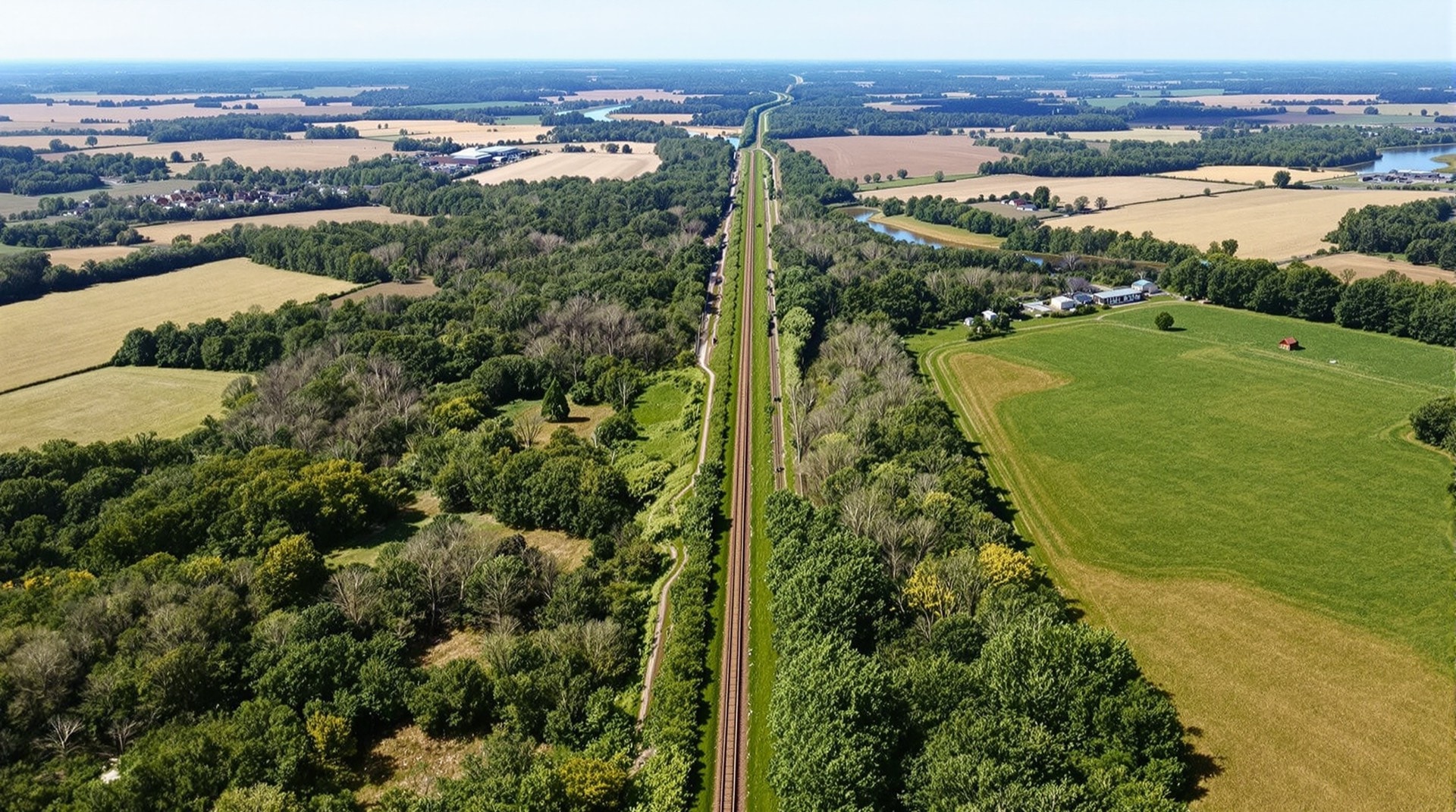
Railroads leave durable marks. Because they were engineered for gentle grades and broad curves, their alignments stand out from above: a straight green line through a patchwork of fields, a causeway across a wetland, a cut through a hillside, a line of trees marching across open country. Once you learn to see them, abandoned corridors appear everywhere on aerial imagery. Mapping them simply makes that pattern explicit, so the route can be verified and followed on the ground rather than guessed at.
Why a Modern Map Matters
Old railroad maps show where a line was in its own era, but they rarely line up cleanly with the roads, towns, and property lines of today. Plotting a corridor onto a current map bridges that gap: it lets a walker stand at a real road crossing and know exactly where the railbed went, whether it survives as a trail, and where it disappears into private land or new development. That translation — from historical route to present-day location — is the practical purpose behind all of this site's corridor data.
From Map to Trail
For the corridors that have become rail-trails, the map is a practical tool: it shows where a trail begins and ends, where it crosses roads, and where gaps remain. Modern trail databases such as TrailLink and route systems like the Empire State Trail serve much the same purpose for today's completed paths. This project's contribution is to place those trails in their full historical context — every rail-trail shown as part of the larger, older railroad network it came from.
Verifying a Corridor on the Ground
A plotted corridor is a hypothesis until someone walks it. Aerial imagery is most honest in the leaf-off months, when an embankment, a cut, or a line of ballast shows through bare trees that hide it completely in July. County parcel viewers are the other useful check: an abandoned right-of-way often survives as its own long, narrow parcel, sometimes still listed under a railroad's name decades after the last train. Where the two agree, the alignment is usually sound. Where they disagree, trust the ground. And a mapped corridor is not a right of access — a great many of them run through private property, so treat the map as a record of where a railroad went, not as an invitation to follow it.
Categories of Corridor
The mapped routes fall into natural categories, and keeping them distinct is part of what makes the data useful. Active and abandoned steam railroads form the backbone; electric trolley and interurban lines make up a second layer; unfinished grades, gravity railroads, and industrial oddities form a third; and the modern rail-trails are a fourth, often overlaid directly on one of the others. Seeing which category a corridor belongs to explains a great deal about why it survives — or does not — on the ground today.
Exploring the Corridors
Use the corridor maps as a starting point for exploration, whether you are riding a finished rail-trail or searching for the trace of a line that vanished a century ago. Start with the rail-trails directory for routes you can travel today, turn to abandoned railroads for the lines that were lost, and follow the Rutland Trail to see a mapped corridor become a path underfoot.