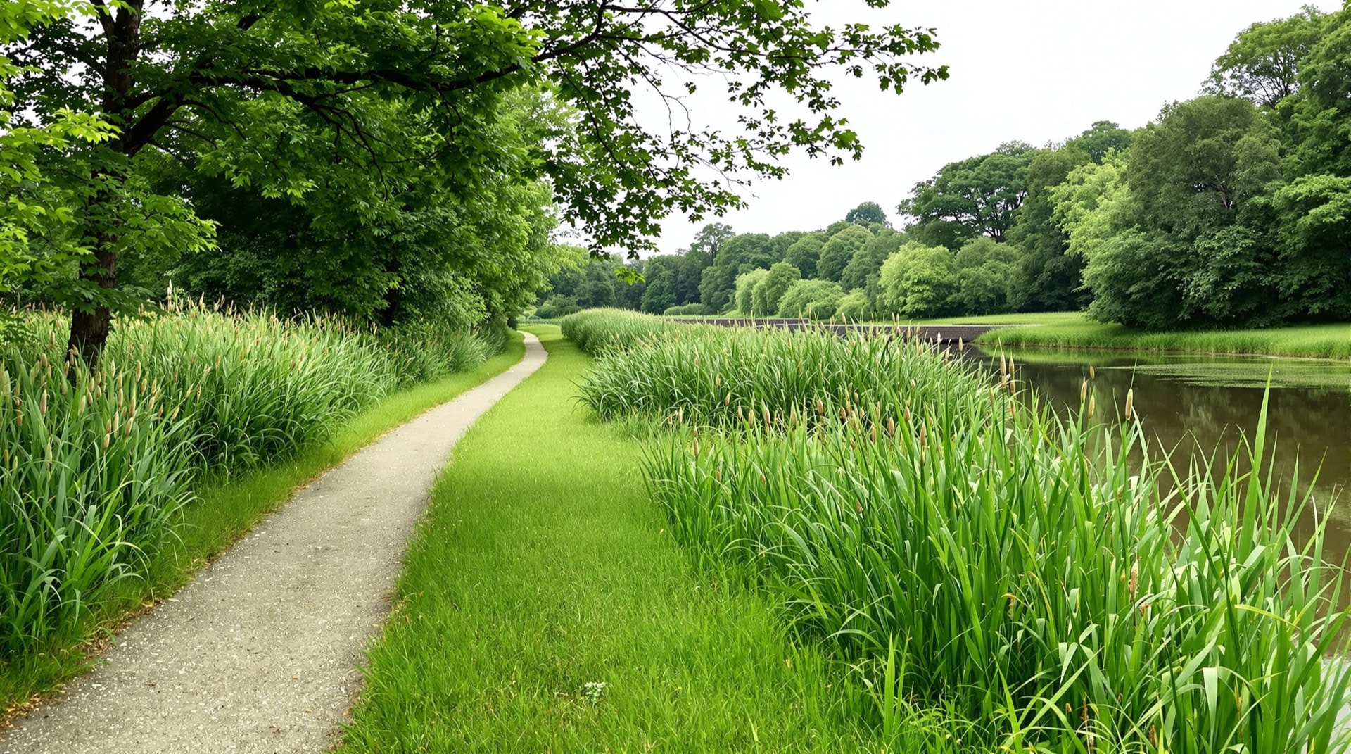
The Genesee Valley Greenway is one of the longest multi-use trails in western New York, running roughly 90 miles along a corridor that carried first a canal and later a railroad. It follows the Genesee River valley from near Rochester south toward the Southern Tier, passing through Genesee Valley Greenway State Park and a chain of small towns that grew up along the old transportation route. Few trails anywhere pack so much history into a single continuous path.
Two Transportation Eras in One Corridor
The greenway is unusual because it preserves two overlapping histories. The Genesee Valley Canal was dug in the mid-nineteenth century to connect the Erie Canal at Rochester with the Allegheny River system to the south, climbing through a remarkable series of locks. When the canal was abandoned, the Pennsylvania Railroad's Rochester branch was built largely along its towpath and prism. Today's trail runs on that combined grade, so a single afternoon's walk can take you past canal locks, spillways, and railroad culverts within a few miles of one another. It is a living illustration of the layered history described on our rails-to-trails page.
The Trail Today
The surface is mostly crushed stone and grass, making it well suited to hybrid and mountain bikes, hikers, horseback riders, and cross-country skiers. Because it is long and rural, the greenway rewards planning: riders often tackle it in sections, using the towns along the way — places like Mount Morris, Nunda, and Portageville — as start and end points. Long stretches run beside the Genesee River and through state forest land managed in cooperation with New York State Parks and the Department of Environmental Conservation.
Landscape and Wildlife
The Genesee Valley is broad, green, and quiet. The trail passes wetlands rich in birdlife, working farms, and pockets of hardwood forest. Deer, beaver, and waterfowl are common, and the river is never far away. Near Letchworth State Park — the celebrated “Grand Canyon of the East” — the greenway runs within reach of some of the most dramatic scenery in the state, and many riders combine the two. In autumn the valley's foliage draws walkers from across the region; in winter the flat grade makes for excellent skiing.
Locks, Bridges, and Ruins
Part of the greenway's appeal is archaeological. Stone canal locks, the stumps of old railroad bridges, and the earthworks of a nineteenth-century transportation system lie scattered along the route, slowly returning to the woods. Interpretive efforts by the greenway's supporters help walkers read these traces, turning a simple trail walk into a tour of how goods and people once moved through western New York before the age of the highway.
Riding It in Sections
At roughly 90 miles, the greenway is more than most riders take on in a day, and its changing surface rewards a section-by-section approach. Northern reaches near Rochester tend to be more developed and easier going; southern stretches toward the Southern Tier grow more remote and rugged, with grass and rougher ground. Many people ride a favorite segment repeatedly and save the far ends for dedicated trips. Because the towns along the route sit only a handful of miles apart, it is easy to design a loop of the length and difficulty you want.
Connecting Trips
The greenway anchors the western end of our rail-trails directory and links, directly or in spirit, to other western New York routes like the Lehigh Valley Trail and the Allegheny River Valley Trail. Its length and its double history make it a natural centerpiece for a multi-day trip through the Genesee country, and a fine introduction to how completely a corridor can outlive the transportation that built it.