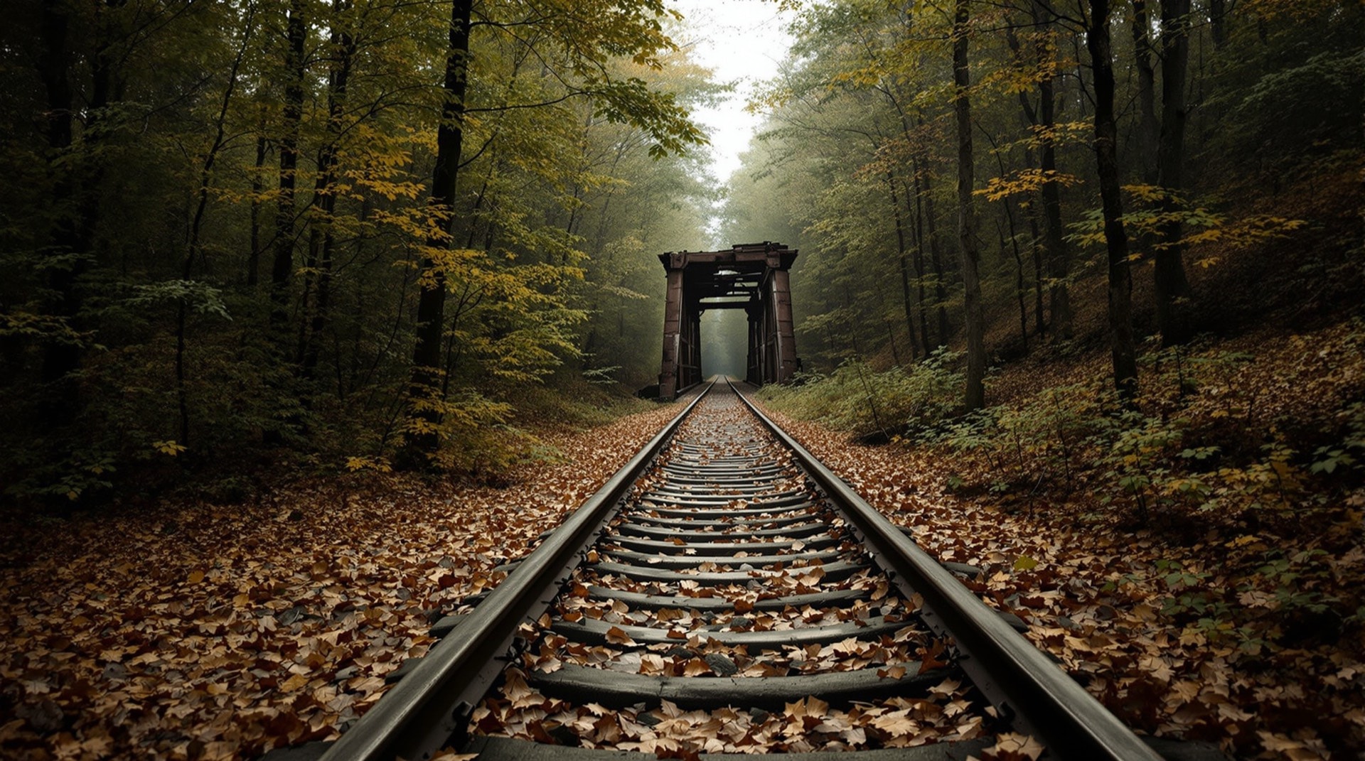
New York was built by railroads, and it is haunted by them. Across the state, the grades of hundreds of abandoned railroads still cut through forests, farms, and cities — some converted into rail-trails, many simply reverting to woods, a few paved over or plowed under. This page traces those lost corridors, beginning with the line that gave this project its name and expanding to the wider inventory of mainlines, branches, and never-finished grades that once covered the state.
The Rutland Railroad Northern Division
The Rutland Trail follows just one fragment of the Rutland Railroad's Northern Division. In its prime the line ran across the entire top of New York, from Ogdensburg on the St. Lawrence River in the west to Rouses Point on Lake Champlain in the east, connecting the North Country to the Rutland system in Vermont. It carried dairy, freight, and passengers through some of the most isolated country in the state. When it was abandoned, the long, arrow-straight grade was left behind — and today a piece of it is one of New York's most remote rail-trails.
A Statewide Inventory
The Rutland is only one of many. The mapping work behind this site catalogued hundreds of railroad segments across New York — trunk lines like the Boston & Maine's routes into Vermont, the Rome, Watertown & Ogdensburg's Hojack line along Lake Ontario, and countless short lines and branches serving quarries, mills, and lake resorts. Corridors were traced from Albany and Troy across the Mohawk and Hudson valleys, through the Southern Tier, and out to Buffalo and the Niagara Frontier. Each one is a thread in the dense railroad fabric that once tied the state together, and each abandonment left a scar on the map that patient tracing can still recover.
Branches, Spurs, and Industrial Lines
Beyond the famous trunk routes, New York's railroad map was thick with capillaries: creamery spurs, quarry branches, lines to a single lakeside resort or a single mill. These short lines lived and died with the industries they served, and because they were lightly built and briefly used, they are often the hardest to find on the ground today. Yet they are woven into the same corridors that later became trails, and tracing them is part of understanding why a given rail-trail bends where it does or ends where it does.
Unfinished and Forgotten Lines
Not every railroad grade carried a train. Scattered across New York are unfinished railroads — graded rights-of-way for lines that were surveyed and partly built but never completed, victims of financial panics, competition, or changing routes. These ghost grades, along with early gravity railroads and industrial spurs, are among the most intriguing features on any historical rail map, precisely because so little was ever recorded about them. A cut through a hillside that leads nowhere, an embankment that stops at a stream with no bridge — these are the fingerprints of railroads that were dreamed but never run.
From Railbed to Trail
What happens to an abandoned corridor depends on ownership and timing. Some are “railbanked” — preserved intact for possible future rail use while serving as trails in the meantime — a legal tool championed by the Rails-to-Trails Conservancy. Others are pieced back together by towns and volunteers, sometimes with help from programs like the National Park Service's Rivers, Trails & Conservation Assistance program. Many, though, are simply lost, broken by highway crossings, development, and reverting forest. That is why documenting them — before the evidence disappears — matters.
Mapping the Corridors
Every corridor on this site was plotted onto a modern map so that the old alignment could be followed on the ground. The mapping approach page explains how these routes were traced, and the trolley lines page covers the electric interurban network that once ran alongside the steam railroads. Together they reconstruct, corridor by corridor, the vanished railroad geography of New York State — a map of what was, laid over the map of what is.